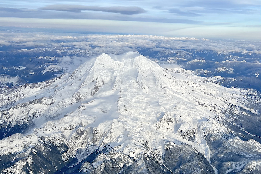
Mount Rainier From the Sky
Mount Rainier From the Sky
One of the benefits of flying to Seattle from Phoenix is the opportunity to see Mount Rainer from the sky.
Remarkably, Carol shot this photograph out of the window of our Delta flight as we flew by yesterday afternoon.
According to Wikipedia, “Mount Rainier, also known as Tahoma or Tacoma, is a large active stratovolcano in the Cascade Range of the Pacific Northwest, located in Mount Rainier National Park about 59 miles south-southeast of Seattle. With a summit elevation of 14,411 ft, it is the highest mountain in the U.S. state of Washington and the Cascade Range, the most topographically prominent peak in the contiguous United States, and the tallest in the Cascade Volcanic Arc.
Due to its high probability of an eruption in the near future, Mount Rainier is considered one of the most dangerous volcanoes globally, and it is on the Decade Volcano list. A large amount of glacial ice means that Mount Rainier could produce massive lahars, threatening the entire Puyallup River valley. According to the United States Geological Survey, “about 80,000 people and their homes are at risk in Mount Rainier’s lahar-hazard zones.”
We were flying home after completing a fun 9-day wine cruise with our friends from American Queen Voyages. But we’ll share more on that in subsequent articles.
If you enjoyed this article, sign up for our travel newsletter to keep abreast of our best travel tips, on-location reviews, exclusive travel offers, group travel events, and much more.

Roaming Boomers Travel Services is an Independent Affiliate of Cadence, a Virtuoso® member. CST#201120-40
 The Roaming Boomers


